

GEOSPATIAL
DRONE MAPPING
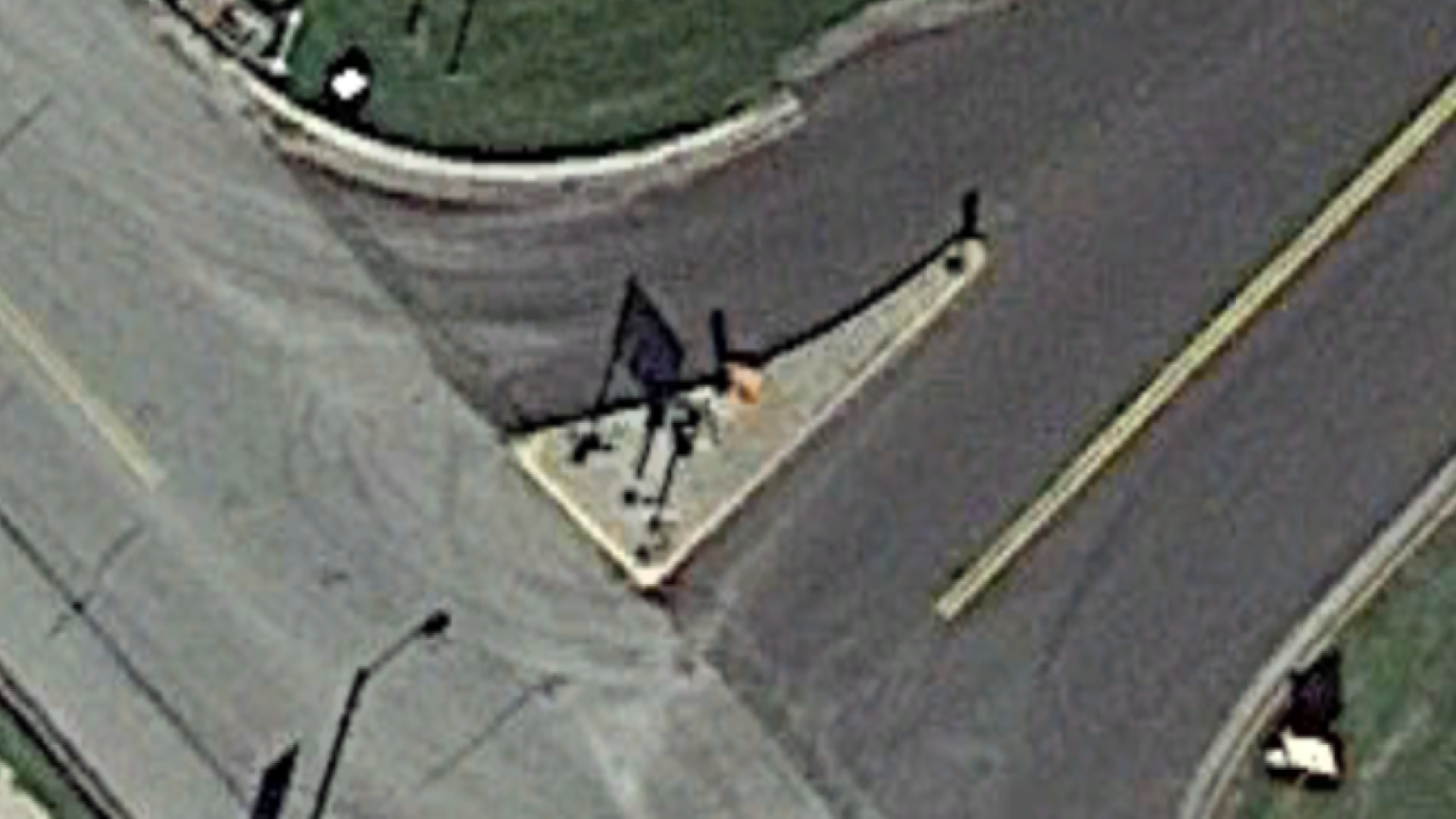
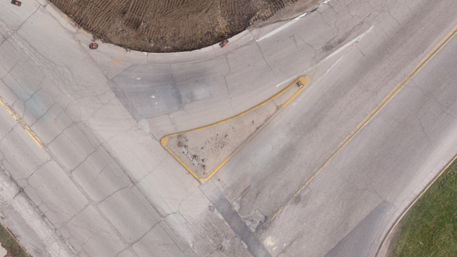
Aerial drone mapping is a powerful tool used across many fields, transforming how we gather and use geographic data. By using drones with advanced imaging technology, businesses and industries can create highly precise and detailed maps of landscapes, buildings, and infrastructure.
These maps offer valuable insights for urban planning, construction monitoring, and environmental assessments. Plus, drone mapping speeds up data collection over large areas, saving time and money compared to traditional methods.
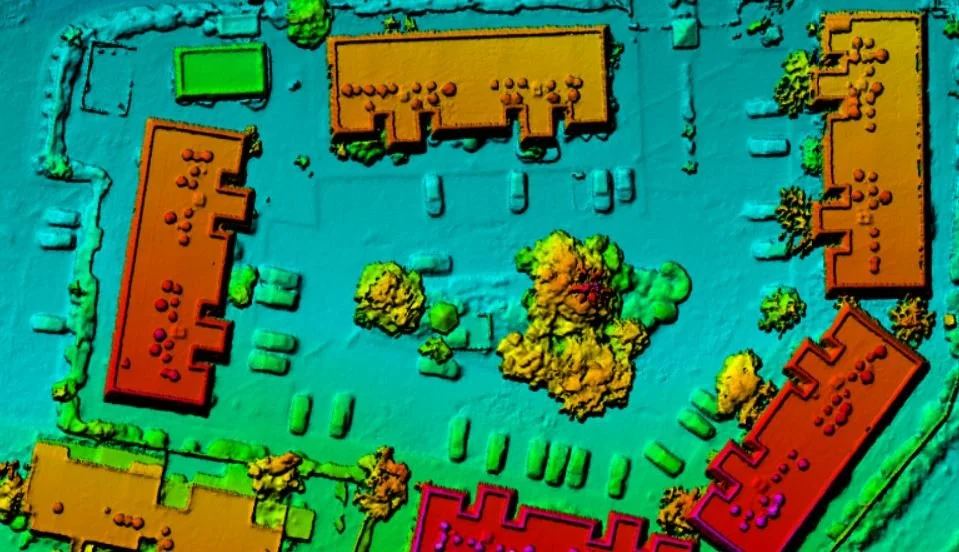
The results include various useful outputs like maps, models, and point clouds, giving decision-makers the information they need for better planning, resource management, and situational awareness.
GET STARTED TODAY
Let’s start the conversation about what kind of drone aerials you want and when you’d like them by. Click the button to get started!